ONLINE FORMAT
| Image | 29 |
| Folder | 1 |
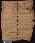
| Text | 1 |
ORIGINAL FORMAT
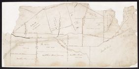
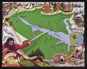
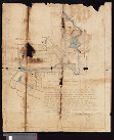
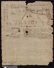
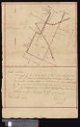
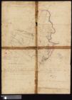
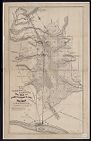
| maps |
SUBJECT
DIVISION
| East Carolina Manuscript Collection |